How Directional Drilling Works in Columbia Ground
Three bands: granite, dunes, and bottoms
The Midlands' geology arranges itself in a sash across the metro: granite country northwest — hard crystalline rock under thin red cover, the stone Fairfield's quarries made famous; the Sandhills through the middle — a relict dune belt of deep, droughty sands that drink drilling fluid and drain like the beach they once were; and the floodplain world southeast — the Congaree's soft bottomlands running to the park's old growth. Each band is its own trade: rock verification north, loss-managed fluid design through the dunes, wet-ground engineering south. Three-band quoting names your sash of the metro first, because the capital sits where all three meet and the transition can happen inside a single alignment.
Capital cadence and the post's calendar
The metro runs on institutional clocks: state government's session rhythms and campus standards, the university's academic calendar downtown, the medical corridor's mission-critical windows — and above all the post's: the Army's largest training operation runs graduation weeks, gate rhythms, and coordination machinery that the local contractor community treats as second nature. Add the dam operator's licensing world at the lake and the convergence of three interstates, and the Midlands reward exactly what our quotes are built on: calendars named at scope, filings early and complete, windows honored as promised.
The sequence, Midlands edition
The bones are standard — locates plus private designating, potholes on every claimed utility, pilot on profile, ream to about one and a half times the product, pull, restore. Midlands bends: band-named tooling with loss-managed fluid in the dunes, rock verification in the north, wet-ground programs at the bottoms, release-schedule awareness on the regulated river, post-corridor coordination where the gates apply, and restoration that treats capitol blocks, boom-plat lawns, and horse-country edges as the different surfaces they are.
Who owns what you're crossing
The capital and the ring towns run their own ROW counters; six county departments cover the band miles; SCDOT permits the three interstates and the state spines. State stream machinery rides every crossing; the dam operator's licensing governs Murray's shoreline and the Saluda's regulated reach; floodplain and wetland review holds the bottoms with the park's watershed downstream; the post keeps its gate machinery; railroads permit the junction lattice; and the quarry country's blasting neighbors add their notes north. The quote names every owner on your alignment — here, the first questions are which band and whose calendar.
Straight answers
Will you hit rock on my bore?
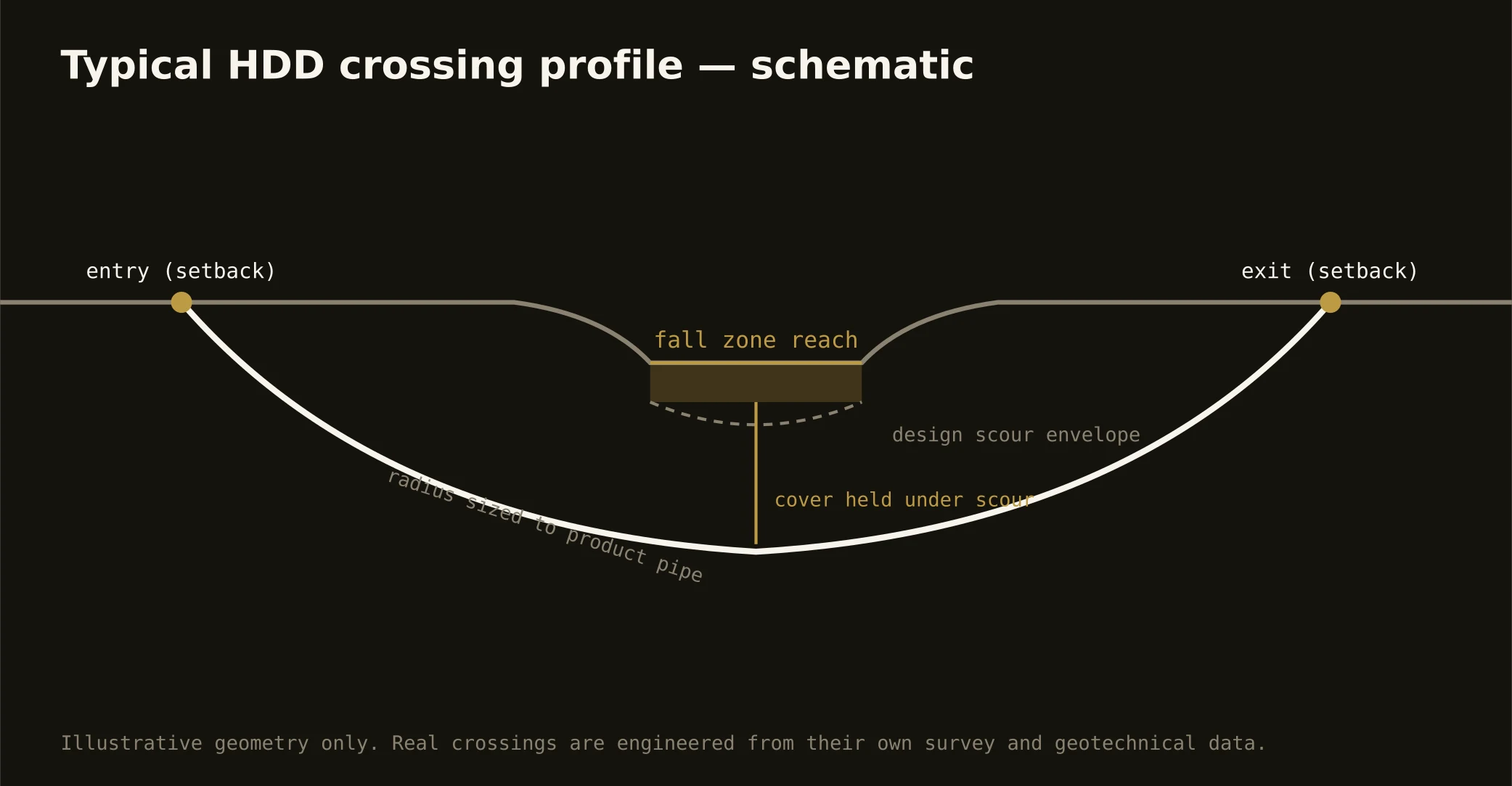
Ask the sash: granite country puts hard rock at shallow, verified depths; the Sandhills run sand deeper than any utility travels; the bottoms run soft to depths that make rock irrelevant. The fall zone through the city is where the answer changes fastest — and the quote names your band before guessing at your rock.
How deep do bores run under Columbia streets?
Cover follows the owning authority's standard and sits below everything potholed on the alignment — with river crossings running to their reach's criteria and Sandhills profiles designed around fluid behavior as much as depth. The plan states your number and your band at it.
Does Lake Murray's dam affect utility work?
Its world does: the shoreline runs on the operator's licensing machinery, the Saluda below runs on release schedules that set the river's flow by decision rather than weather, and lake-country work coordinates accordingly. It's established, daily-run machinery — named at the desk, where naming is free.
Ready to put a number on a real crossing? Send the scope — a person prices it.